Winney's Down
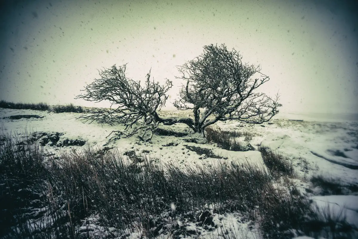
A broad, boggy moorland plateau above 520m with Statts House, an old peat shelter, at its highest point, sitting between the East Dart river and Sittaford Tor.
Recreation and activities on and around the moor
A broad, boggy moorland plateau above 520m with Statts House, an old peat shelter, at its highest point, sitting between the East Dart river and Sittaford Tor.
A down on central Dartmoor with a cluster of nearby archaeological remains and registered interest from local walkers.
601m hill within the firing range with a Bronze Age burial mound ringed by white stones, and bog on all approaches.
Small summit in the middle of Willsworthy Firing Range, 390m high, with views across to Cornwall and the surrounding tors.
A modest granite peak on central Dartmoor, rising to 323 metres with open views across the high moor.
353-metre hill west of the A386 near Mary Tavy, named for the gibbet where 18th-century highwaymen were left as a warning to travellers.
A massive east-west ridge of granite outcrops stretching 400 metres, only added to OS Maps in 2022 after years of omission.
A large cairn and granite-scattered hill at 469m, perched above Plym Ford and the river source that gave Plymouth its name.
A tin mine hill topped with Bronze Age cairns and a 1240 forest boundary marker, with views to Plymouth Sound.