
← Back to Industrial Archaeology · Back to the directory · Dartmoor Map
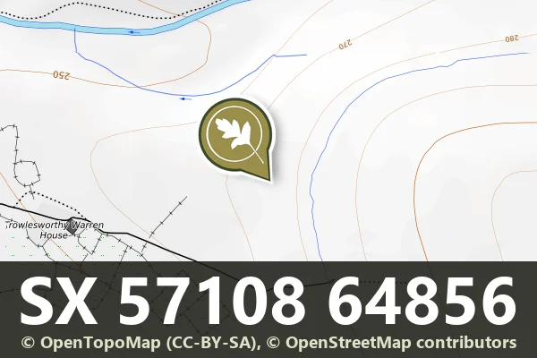
This scheduled monument is a V-shaped gully carved into the moorland east of Trowlesworthy Warren House. Such features are characteristic of medieval or post-medieval activity on Dartmoor, possibly the result of sustained water erosion along a routeway, drainage line, or management feature used by communities working the moor.
Today the gully remains as a linear depression in the landscape, a quiet record of how people and water have shaped Dartmoor's terrain over centuries. It sits within the broader archaeological context of Trowlesworthy, an area rich in cairns, settlements and industrial heritage. Walkers in this part of the moor will find it a subtle but tangible mark of the past.


Official record
Explore the area
Thoughts
Be the first to share a thought about 'V'-shaped gully near Trowlesworthy Warren House.
Share a thoughtRun a Dartmoor business, group or service like this one? Add yours to the directory, it is free.
Suggest a listing