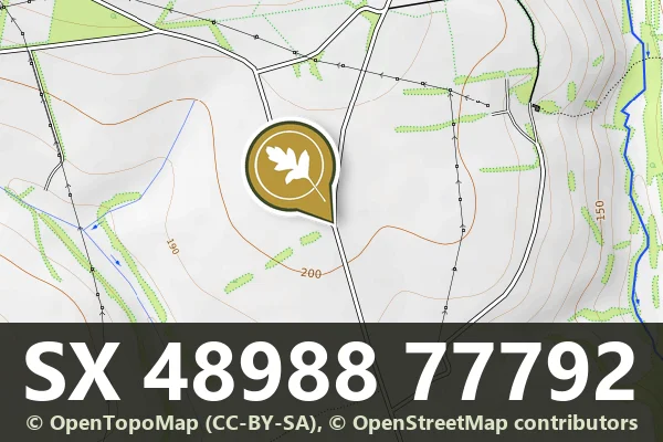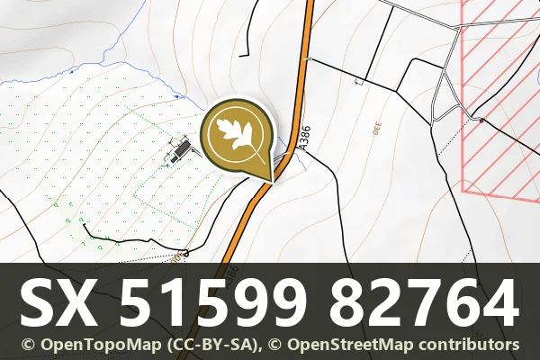

Direction Post
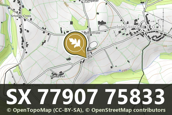
Trumpeter, Bovey Tracey
A stone direction post marking the junction of the lane from Ilsington Methodist Church and the route to Lewthorn Crossroads.
Trumpeter, Bovey Tracey
A stone direction post marking the junction of the lane from Ilsington Methodist Church and the route to Lewthorn Crossroads.
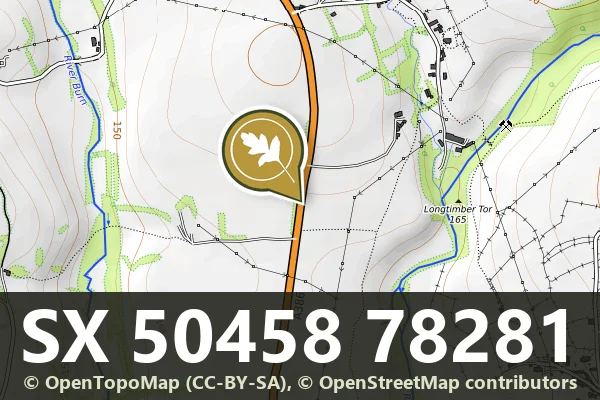
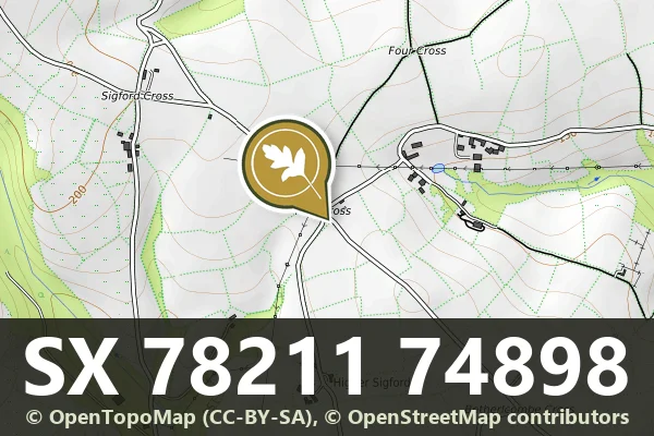
Higher Sigford, Bovey Tracey
A stone direction post at a remote five-way junction on Dartmoor, marking routes across the high moor.
Peter Tavy, Tavistock
A milestone marking distances on the roads crossing Dartmoor's high moorland.
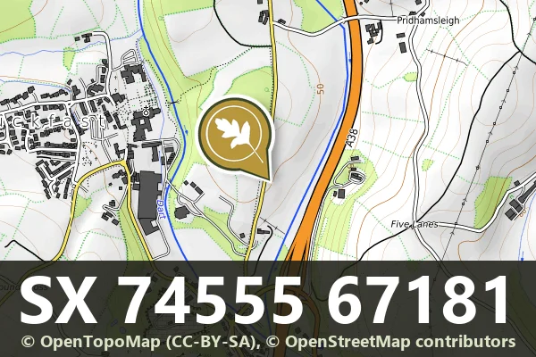
Pridhamsleigh, Buckfastleigh
A roadside milestone marking distances, standing on the lane north of Furzeleigh Mill in rural Dartmoor.
Peter Tavy, Tavistock
A stone boundary marker on the open moor, marking historic land divisions across Dartmoor's upland landscape.
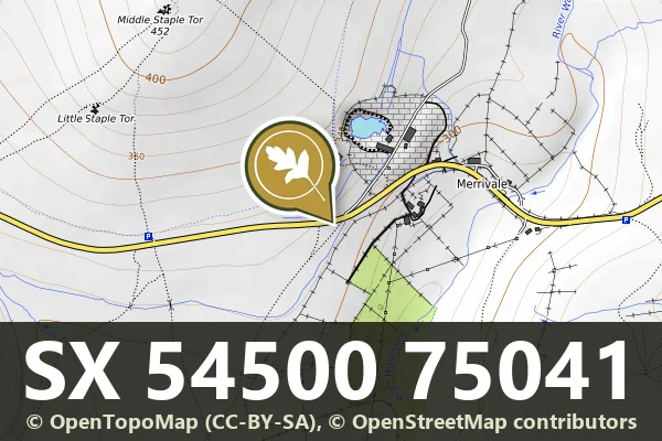
Merrivale, Tavistock
A wayside milestone marking distance on an old route across the moor, now a modest but enduring trace of Dartmoor's transport history.
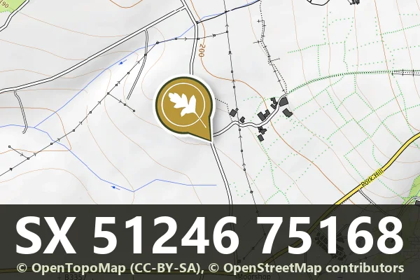
Moorshop, Tavistock
A modest stone milestone marking distance and route on the open moor, typical of Dartmoor's network of travelling aids.
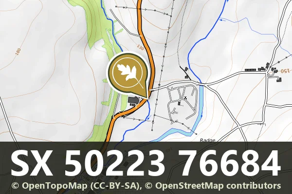
Mary Tavy, Tavistock
A stone milestone marking distances on the old routes crossing Dartmoor, likely from the 18th or 19th century.
Lane End, Tavistock
A roadside milestone marking distance and direction on the open moor, likely dating from the turnpike era.