

Did you know?
A Dartmoor fact about Brentor Church (St Michael de Rupe)


← Browse Standing Stones & Menhirs · Browse the directory
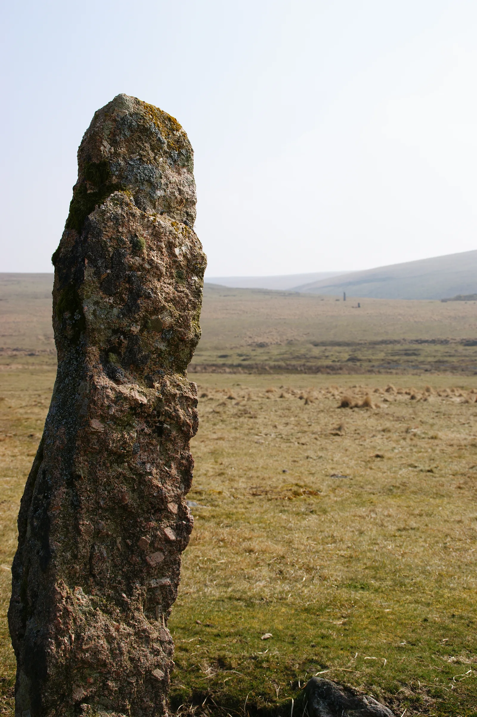
Grid ref: SX 5871 6694 Find this on the Map Reference Finder
Main image: Drizzlecombe stones 6 - 59 metres from location - image by Myself - Herby talk thyme (CC BY-SA 4.0), via Wikimedia Commons
Contact us if you have information about this listing
Dartefacts is a database of Dartmoor sites with far more close-up detail than we can show here, and it is the best place to go deeper. Dartefacts is free to use, and nobody has to pay to look things up. If you want more, a yearly subscription adds 10-figure grid references, map zoom down to 1:25,000 and lists to tick off the places you have visited, and it helps keep the site going. We would encourage you to subscribe.
Be the first to share a thought about Standing Stone.
Share a thought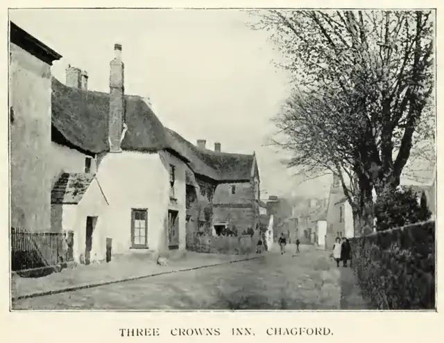 Plate from A Hundred Years on Dartmoor, page 15, 1901
“It struck me as something new in farming, and I was going to ask him what there was in it that he paid a labourer to hoe his stubbles.”
Also on Our DartmoorButtern Hill coaxial fields and hut circles — Part of the Buttern Hill coaxial field system with three parallel reaves and two hut circles, a 10.1 m one with a double upright-stone wall and a porch, and a 4.4 m one.
A Dartmoor fact about Brentor Church (St Michael de Rupe)
Know another Dartmoor place, tor or landmark we should include? Suggest a listing, it is free.
Suggest a listing