

← Browse Prehistoric Settlements · Browse the directory
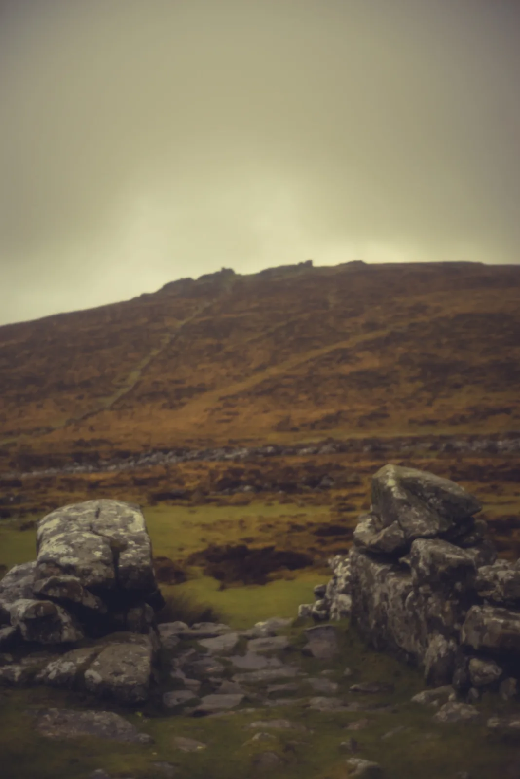
Grimspound
Grid ref: SX 7006 8089 Find this on the Map Reference Finder
On walking routes: Two Moors Way
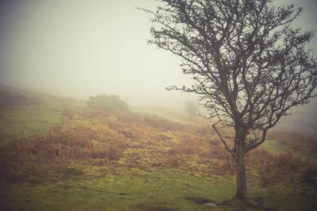
Main image: Photograph by Glavind Strachan Photography
- Period: Bronze Age
Grimspound lies in a narrow side valley on the north slope of Hameldown, between Hameldon Tor and Hookney Tor, about three miles west-north-west of Manaton.
The enclosure
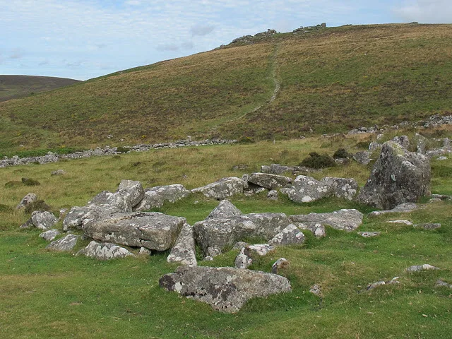
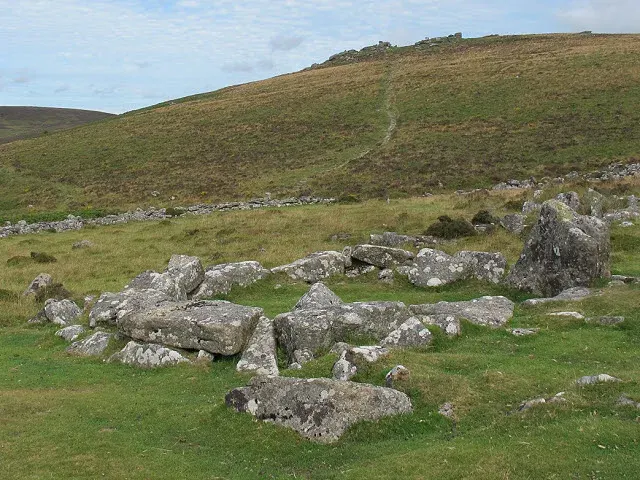
The Murray handbook for Devon and Cornwall gives it "a diameter of 502 ft. by 447 ft., including the walls; and 25 hut-circles still remain within its area. The walls, composed of large granite blocks, are between 9 and 10 ft. thick." It adds that the water at one end comes from the choking of the neighbouring brook, "which does not run through it, as has often been asserted". A paper in the Devonshire Association Transactions of 1872 measured it as 154 yards north to south and 121 yards east to west, with four acres inside the wall.
What it was for
Polwhele thought it "no improbable supposition" that Grimspound was the seat of judicature for the cantred of Durius, as Crockern Tor was for another. The 1872 paper answered that there was no evidence it had ever been a place of worship, and that the stone avenues, pillars, kistvaens and cromlechs seen at Merrivale and Teigncombe were completely absent. A passage in Rowe's Perambulation argues that it was built for protecting cattle from wolves and robbers and from severe winters, in the same way as Dunnabridge Pound.
Crossing gave a chapter of Gems in a Granite Setting (1905) to "Grim's Pound", setting out the Hameldon theories, among them Grim the Viking. Robert Burnard's Dartmoor Pictorial Records, part IV (1894), includes a chapter on the exploration of Grimspound.
Sources
- Richard Polwhele, The History of Devonshire (eighteenth century).
- Rowe, A Perambulation of the Antient and Royal Forest of Dartmoor.
- Report and Transactions of the Devonshire Association, vol. 5 (1872).
- A Handbook for Travellers in Devon and Cornwall (Murray).
- Robert Burnard, Dartmoor Pictorial Records, part IV (1894).
- William Crossing, Gems in a Granite Setting (1905).
Grimspound's hut circles were the subject of Dartmoor's first scientific excavation, undertaken in 1893 by the Dartmoor Exploration Committee, whose founding members included Sabine Baring-Gould and Richard Nicholls Worth. Sixteen circles were dug and the results published in the Transactions of the Devonshire Association, Vol. 26 (1894), pp.101-121.
The journalist Bertram Fletcher Robinson, who had guided Arthur Conan Doyle around Dartmoor in 1901, wrote his own account of Grimspound, "The Fortress of the First Britons", published in Pearson's Magazine in September 1904.
Contact us if you have information about this listing


Explore the area
Go deeper with Dartefacts
Dartefacts is a database of Dartmoor sites with far more close-up detail than we can show here, and it is the best place to go deeper. Dartefacts is free to use, and nobody has to pay to look things up. If you want more, a yearly subscription adds 10-figure grid references, map zoom down to 1:25,000 and lists to tick off the places you have visited, and it helps keep the site going. We would encourage you to subscribe.
Thoughts
Be the first to share a thought about Grimspound.
Share a thoughtKnow another Dartmoor place, tor or landmark we should include? Suggest a listing, it is free.
Suggest a listing