Walking Routes
Taw Teign Link
Sticklepath
Taw Teign Link is a long-distance walking route of about 11 km on and around Dartmoor.


Sticklepath
Taw Teign Link is a long-distance walking route of about 11 km on and around Dartmoor.
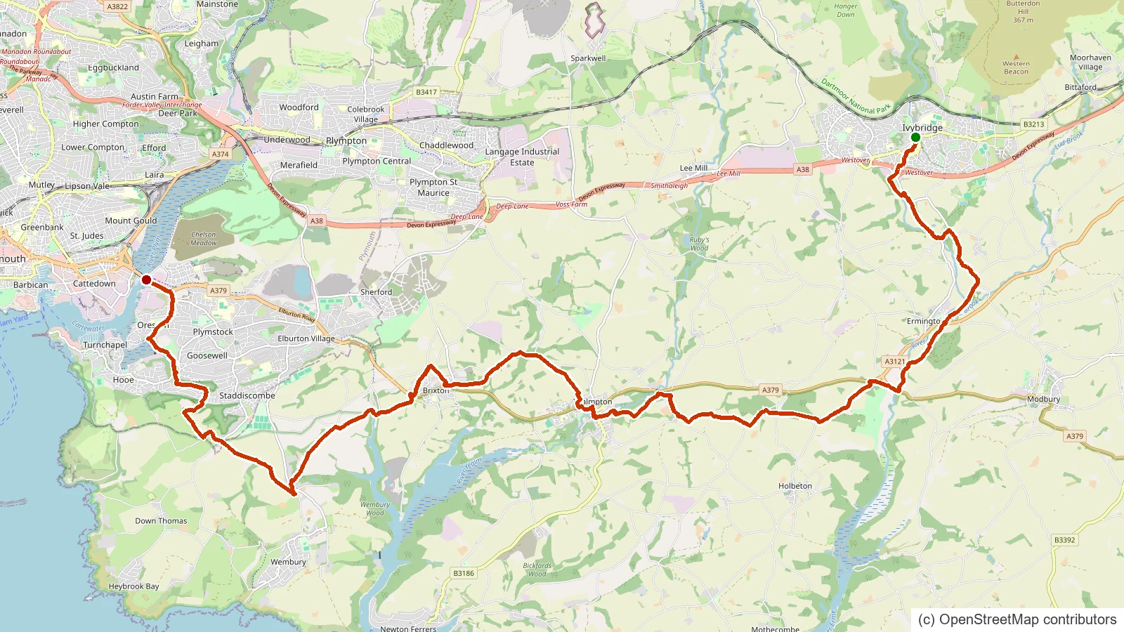
Ivybridge
The Erme-Plym Trail is a short coast to countryside route linking the Devon coast with Ivybridge through the Erme and Plym valleys.

Okehampton
The West Devon Way is a walking route along Dartmoor's western edge, linking Okehampton and Plymouth through Lydford and Tavistock.
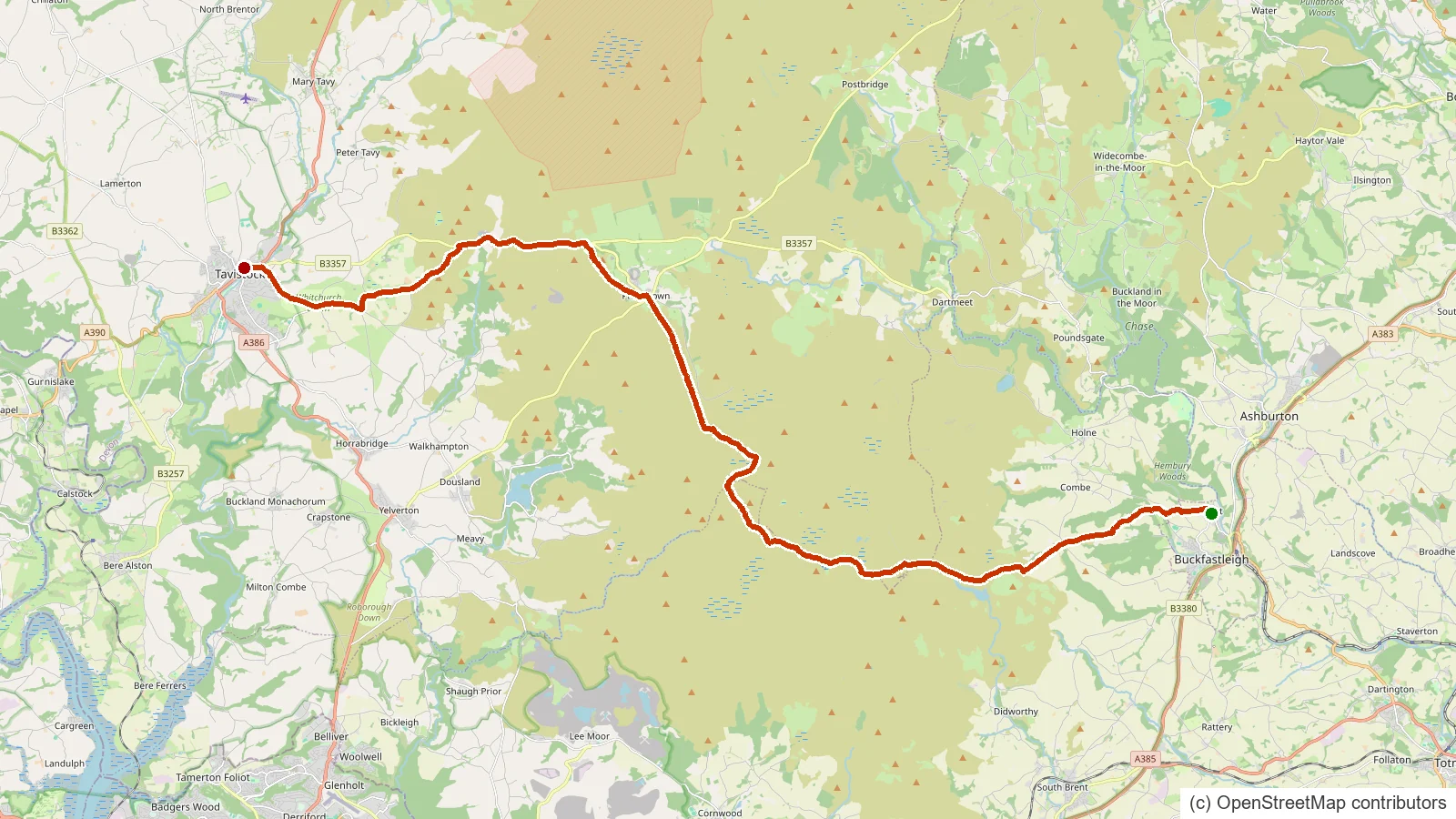
Buckfastleigh
The Abbot's Way is a historic route across the high southern moor, traditionally linked to the medieval abbeys of Buckfast, Buckland and Tavistock.
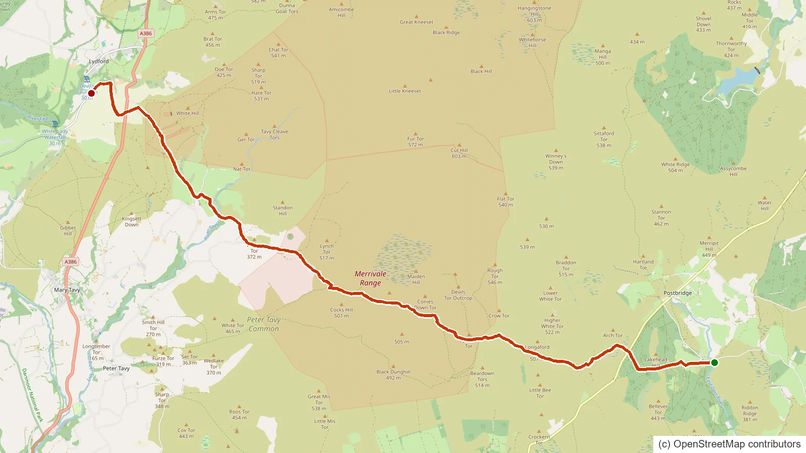
Lydford
The Lich Way is Dartmoor's old 'way of the dead', the corpse road along which moorland families once carried their dead to burial at Lydford.
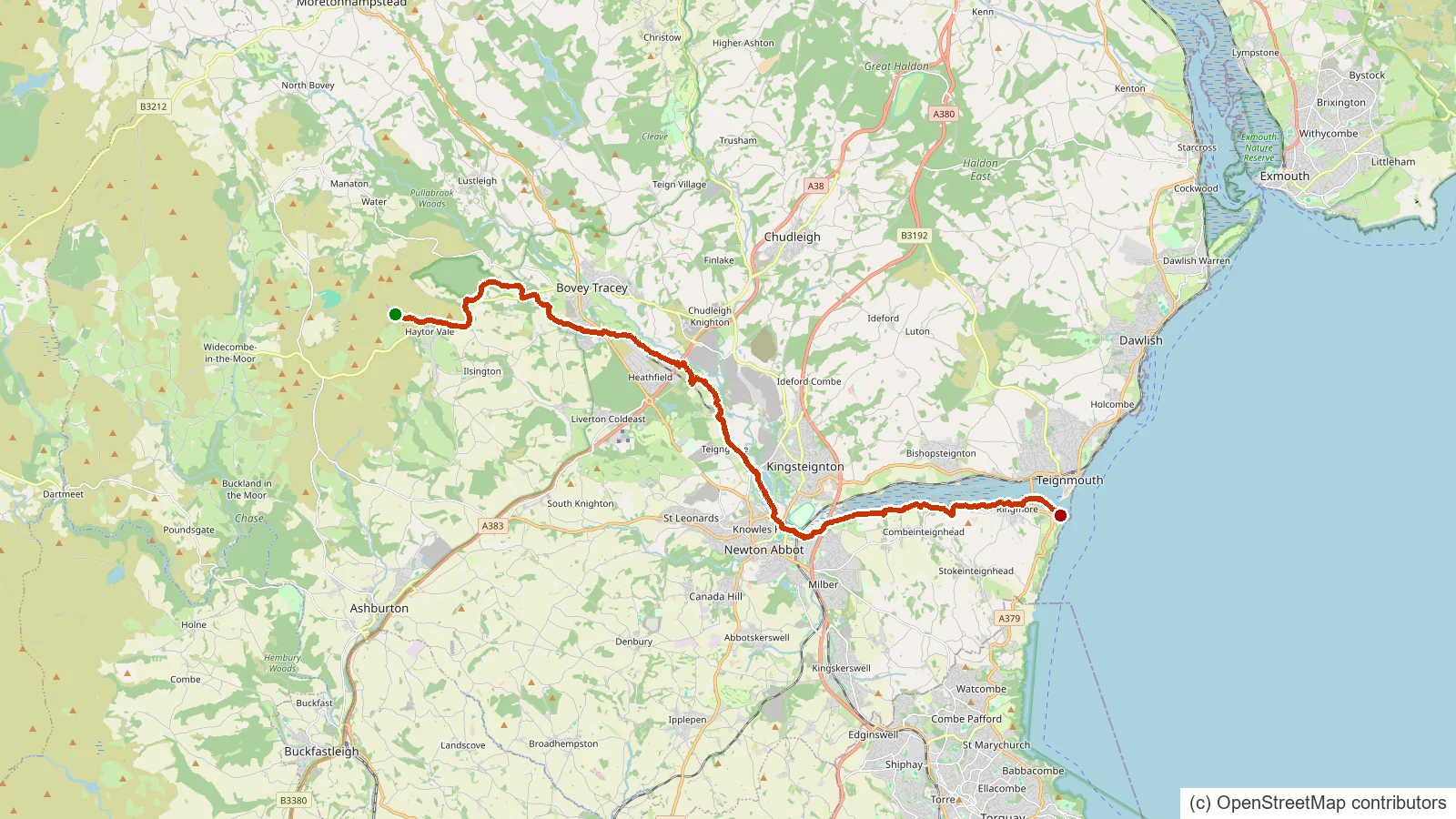
Haytor Vale, Bovey Tracey
The Templer Way follows the old granite trade route from the Haytor quarries down off the moor to the sea at Teignmouth.
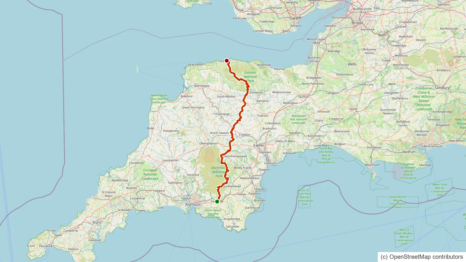
Ivybridge
The Two Moors Way is Devon's coast to coast walk, running from Ivybridge on the southern edge of Dartmoor across the high moor and on to Lynmouth on the north Devon coast.

Dartmoor Forest
A remote northern moor brook rising below Steeperton Tor and running down through Taw Marsh to join the young River Taw, deep in the Okehampton range.

Chagford
The southern headwater of the River Teign, rising near Sittaford Tor, flowing through Fernworthy Forest and Reservoir before joining the North Teign near Chagford.